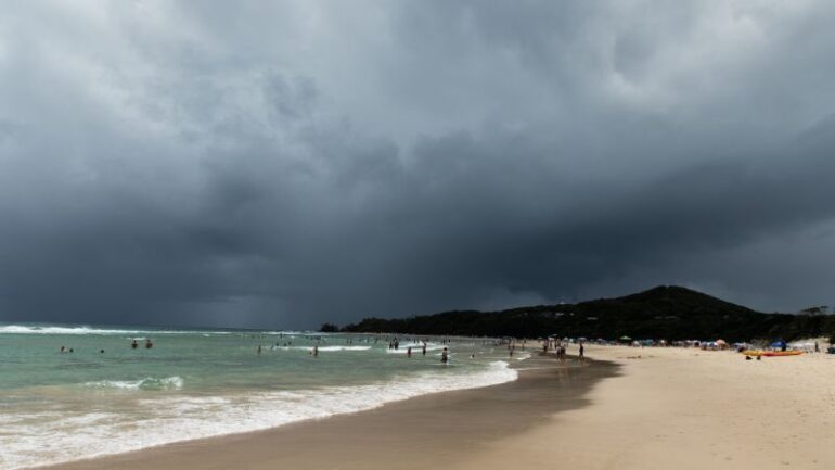
The last few years in Australia have been mostly rainy and miserable as a result of the weather phenomenon known as La Niña. This summer has been a little different, particular in areas of south-east Queensland with La Niña finally seeming to let up.
While we might have finally seen the back of La Niña, Australia may soon be face to face with La Niño.
Before you start stocking up on wet weather-wear, La Niño won’t be bringing us more rain and flooding but instead, much hotter and drier weather conditions.
So, what exactly is La Niño?
“El Niño and its counterpart, La Niña, which means little girl, are weather patterns that dictate heat waves, droughts, fires, floods, and cyclones all over the Pacific Ocean, from Tasmania all the way to Canada,” Cosmos Magazine journalist Ellen Phiddian.
“There’s normally a large body of warm water in the Western Pacific, just up from Australia. Over on the Eastern side of the Pacific, the water is usually a bit cooler.
“This is because of the way the Earth rotates, causing winds called trade winds to blow warm air and water to the West and leave the Eastern side to suck in cool air from the North and South Poles.
“Because warm water evaporates best, the Western Pacific evaporates a lot of water and makes a lot of rain clouds.”
These trade winds can pick up quite drastically and the temperature difference more severe causing flooding, rain and cyclones.
While we may be able to avoid more life-threatening floods this year, the dry, hot weather could be prime conditions for bushfires.
Cosmos Magazine journalist Ellen Phiddian explains what we can expect when La Niño reaches our shores and how long we can expect it to stick around.
Tune into the full episode of Huh? Science Explained below…
Huh? Science Explained is here, the twice-weekly podcast brought to you byLiSTNRand Cosmos.