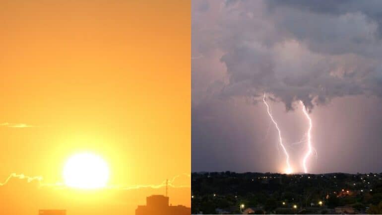
Australia is facing a week of turbulent weather as storms, carrying the threat of heavy rain, large hail, and damaging winds, are set to lash much of the northern and eastern regions.
According to the Bureau of Meteorology reports heavy rain, with over 80 millimetres recorded in Queensland’s Darling Downs and intense downpours in southeast New South Wales.
Stay up-to-date on the latest news with The National Briefing – keeping you in the loop with news as it hits:
Senior meteorologist Dean Narramore said Aussies expected to see “daily rounds of widespread showers and thunderstorms” across eastern and northern Australia throughout the week.
Thunderstorm risks are highlighted for northern WA, the NT, Queensland, New South Wales, and northern Victoria, with the nature of storms making them “hit and miss”.
The prolonged storm event is attributed to a weather systems traffic jam, including a high-pressure system over the Tasman Sea and a stationary surface trough in eastern Australia.
Western Australia braces for a potential record-breaking November heatwave, with Perth facing a streak of seven days above 35 degrees Celsius
The Bureau of Meteorology issues a severe heatwave warning from Geraldton to Augusta, with temperatures eight to 12 degrees Celsius above normal.
Residents are urged to stay hydrated and check on vulnerable individuals as extreme fire danger is forecast.
The stormy week promises relief for drought-affected areas in Queensland, New South Wales, and parts of Western Australia.
While the storms bring much-needed moisture, Mr Narramore cautions that it may not fully reverse the damage caused by several months of severe drought in some areas.
Rainfall is expected to be patchy but significant, with the potential for over 100 millimetres in storm-hit regions.
Subscribe to The Briefing, Australia’s fastest-growing news podcast on Listnr today. The Briefing serves up the latest news headlines and a deep dive into a topic affecting you. All in under 20 minutes.
